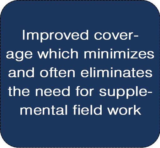
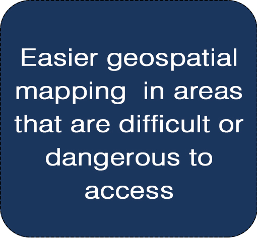
PS&S' Professional UAV and Laser Scanning Team employ high performance drones and laser scanners in conjunction with advanced sensors and software to deliver accurate geospatial mapping and modeling solutions.
These mapping and modeling services are ideally suited for the reconnaissance of potential development properties, linear utility corridor assignments, existing campus and building assessments, construction site monitoring, and forensic and disaster evaluation.

One of our DJI Phantom 4 Pro Drones Surveying a site in New Rochelle, NY
How it is possible...
Trained professionals in capturing, processing and modeling of 3D spatial data
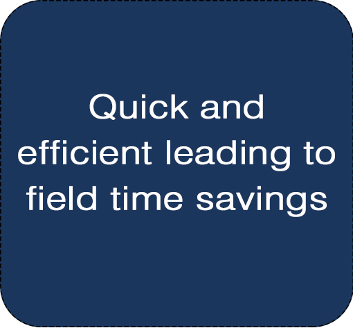
We use DJI Phantom 4 Pro Drones equipped with a 20 mp camera and capable of 4K video. These Drones have GPS RTK ground control and a spatial accuracy of 1-3 cm horizontally and 3-5 cm vertically. Due to their high quality it takes only minutes to complete a site survey
For Laser Scanning applications we use Leica Scanstation C10's equiped with a time of flight laser scanner.Their Laser Scanning range is 2m-300m while maintaining spatial accuracy of +/-6mm. The Spatial data capture comes at a rate of 50,000 pts/sec.
SERVICES


Why to Use Our UAV and Laser Scanning Team
Our UAV and 3D Laser Scanner Team includes Licensed Land Surveyors, FAA Certified drone pilots, and GIS Specialists that work with all of the PS&S disciplines to deliver cost efficient, technically competent geospatial mapping products. The Team works closely with our clients to understand design and assessment goals and objectives to develop strategies that best meet those goals and objectives.
