DISCIPLINES INVOLVED
*Project featured was performed by B. Thayer Associates and its professionals prior to joining PS&S.
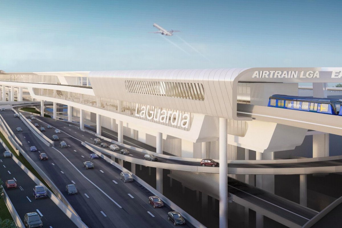
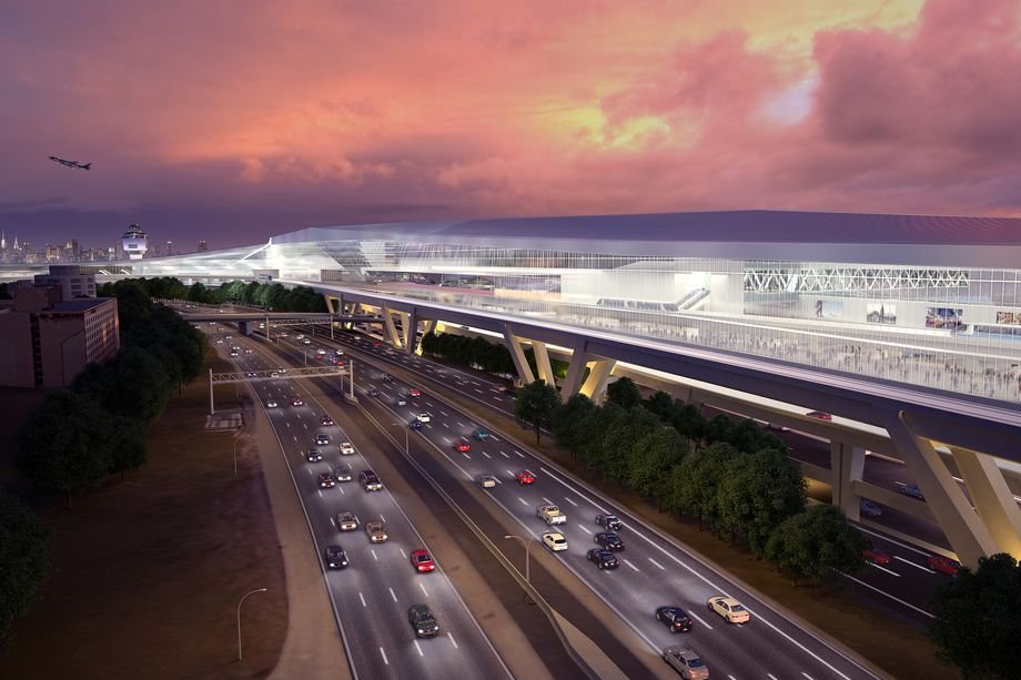
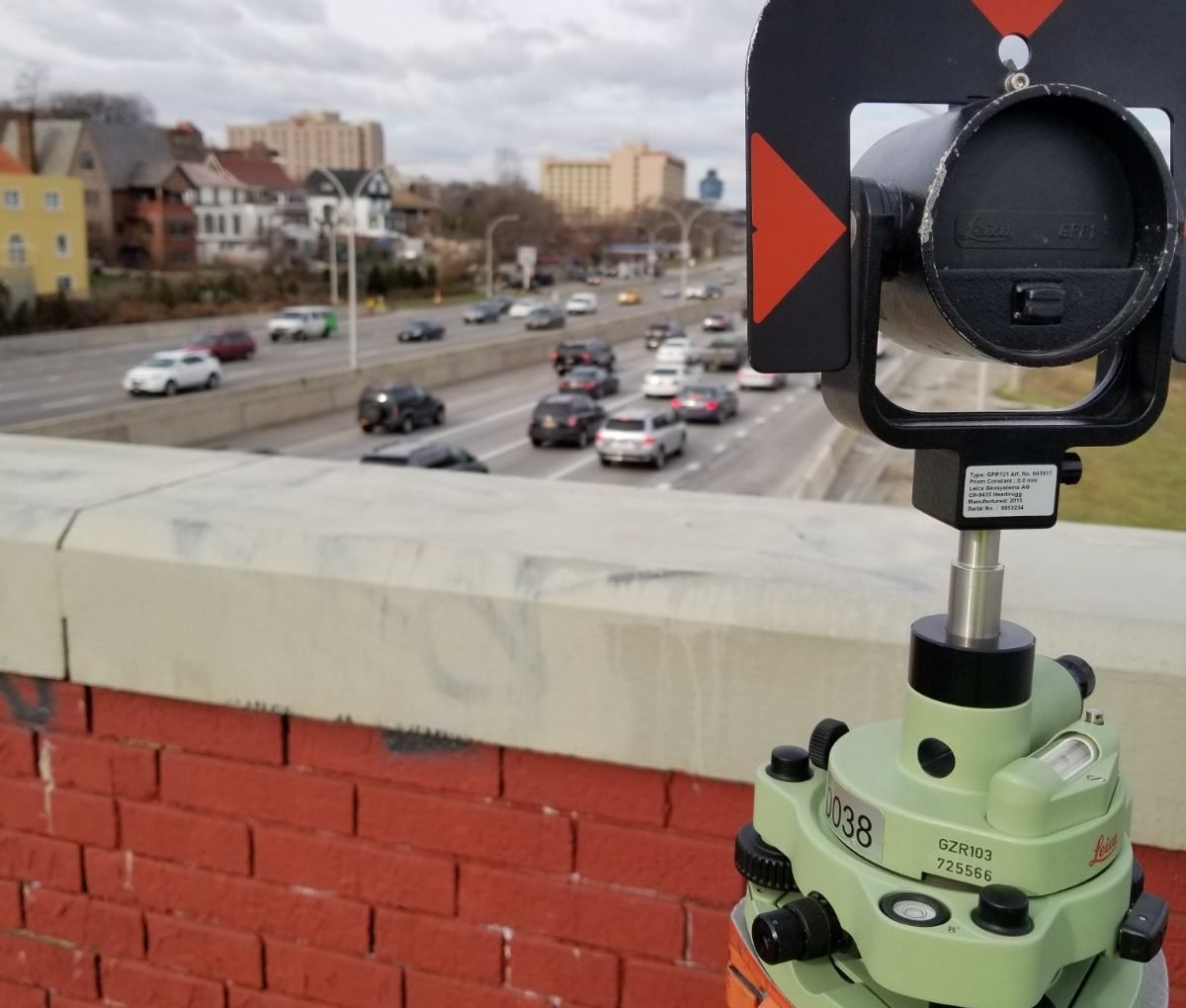
PS&S professionals provided surveying and mapping services to aid preliminary design efforts for the initial design of the LaGuardia Airport AirTrain. Under this task order, the team worked closely with its subcontractors to provide aerial base mapping from LaGuardia Airport to the “Mets-Willets Point” station of the LIRR. The data collected via flight was fixed and oriented by strategically placed control points on the ground. Ground-based field crews then located surface utility hardware and collected invert elevations for all drainage and sanitary structures. Research was conducted to collect available mapping of underground utilities. The field and office data were combined, and an overall map showing the underground utilities within the site limits was prepared.
This data was used by designers to plan possible routes for the proposed AirTrain. In addition, boundary line surveys were conducted in the vicinity of planned routes to avoid conflicts with adjoining landowners.
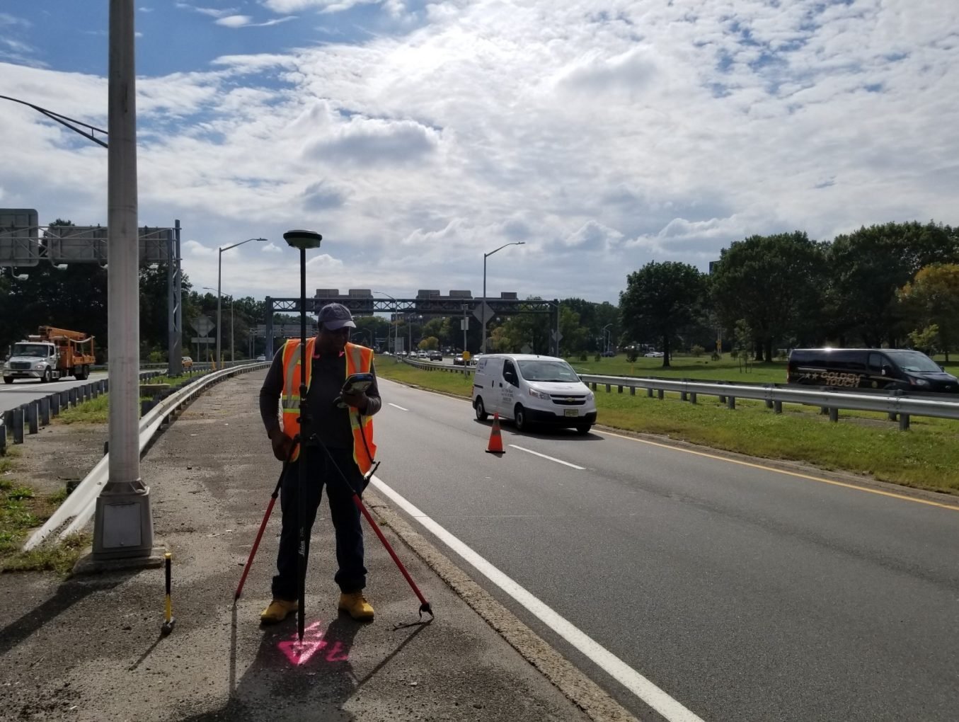
To facilitate a connection to the LIRR station, an additional survey of utilities in this vicinity was conducted to help plan construction activities. A full 3-dimensional scan of the underside of the wood walkway leading from Flushing Meadows-Corona Park to Citifield was performed. The scan captured the various utility lines that reside on the underside of this walkway and provided designers with a three-dimensional model to further assist in planning.